
 Español



There are no more items in your cart
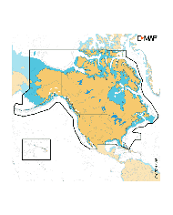

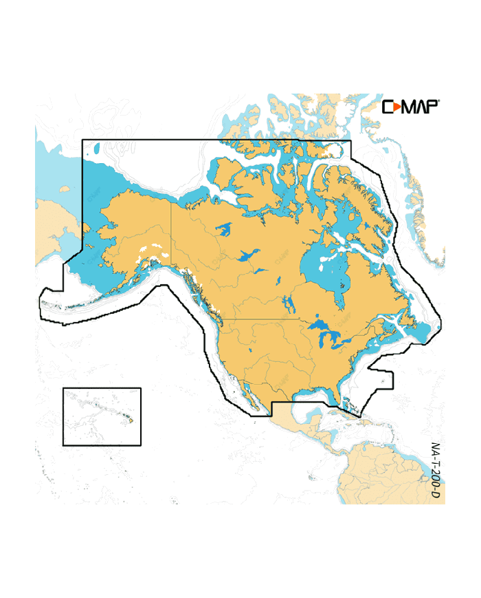
DISCOVER X - NORTH AMERICA / M-NA-T-200-D-MS / DISCOVER X-L-EEUR
€153.80
€138.42
Hurry up! Sales Ends In
Days
Hrs
Min
Sec
Tax included
Discover a more intuitive navigation experience with the DISCOVER X - NORTH AMERICA / M-NA-T-200-D-MS / DISCOVER X-L-EEUR.
Discover a more intuitive navigation experience with the DISCOVER X - NORTH AMERICA / M-NA-T-200-D-MS / DISCOVER X-L-EEUR. This advanced GPS and plotter system combines the latest C-MAP® data with essential features for safe and stress-free outings, regardless of the time of day or weather conditions.
- Next-Generation Charts: Navigation is clearer and more intuitive than ever. With new tools, optimized day and night modes, and enhanced Autorouting functionality, you’ll maximize your time on the water.
- Seamless App Integration: Full integration with Simrad® and B&G® apps allows you to enjoy the same chart experience on your Simrad® NSX™ or B&G® Zeus® S, on your laptop, tablet, and mobile, with complete connectivity. Plan trips, review tracks, and plot waypoints directly with no subscription fees.
- Optimal Day and Night Modes: Specifically designed modes ensure maximum visibility and ease of use in all weather and light conditions, keeping essential data in view for safe navigation.
- Full-Function Vector Data: Comprehensive vector charts provide precise and up-to-date navigation details sourced from official hydrographic agencies.
- Intuitive Map Inspection Tool: Quickly and intuitively view information about locations, POIs, tides, channels, and more with just a touch of the screen.
Stay safe and navigate with confidence—experience the DISCOVER X today!
Technical Specifications:
- Capa de batimetría de alta resolución: La capa de batimetría de alta resolución (HRB, por sus siglas en inglés) permite identificar taludes, salientes, pozas y montículos. Incluye lo mejor de los datos de HRB DE C-MAP®, con datos integrados de mapas sociales Genesis®.
- Sombreado de profundidad personalizado: Fija una profundidad de seguridad o crea tu propio sombreado y mejora tu experiencia de pesca para ver las cosas como quieres verlas.
- Mareas y corrientes: Muestra proyecciones del nivel del agua y de la dirección de las mareas para ayudarte a planificar tu día de pesca o navegación.
- Planos detallados de puertos deportivos: Atracar en un puerto no habitual no supone un problema si cuentas con los planos precisos de miles de marinas, incluidas las zonas de atraque y zonas restringidas, junto con otra información importante para la navegación.
- Detalles de aproximación y puertos: Un nivel de detalle sin precedentes. Aproxímate a cualquier puerto o ensenada con confianza. El compañero perfecto para una larga travesía o un emocionante día de pesca.
- Autorouting sin suscripciones: Permite trazar automáticamente la ruta más corta y segura basándose en datos detallados datos de la carta y en la información sobre la embarcación del usuario.