
 Español





There are no more items in your cart
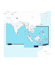

NPAE010L - OCÉANO ÍNDICO Y MAR DE CHINA MERIDIONAL AE010L - PLATINUM+
€403.33
Tax included
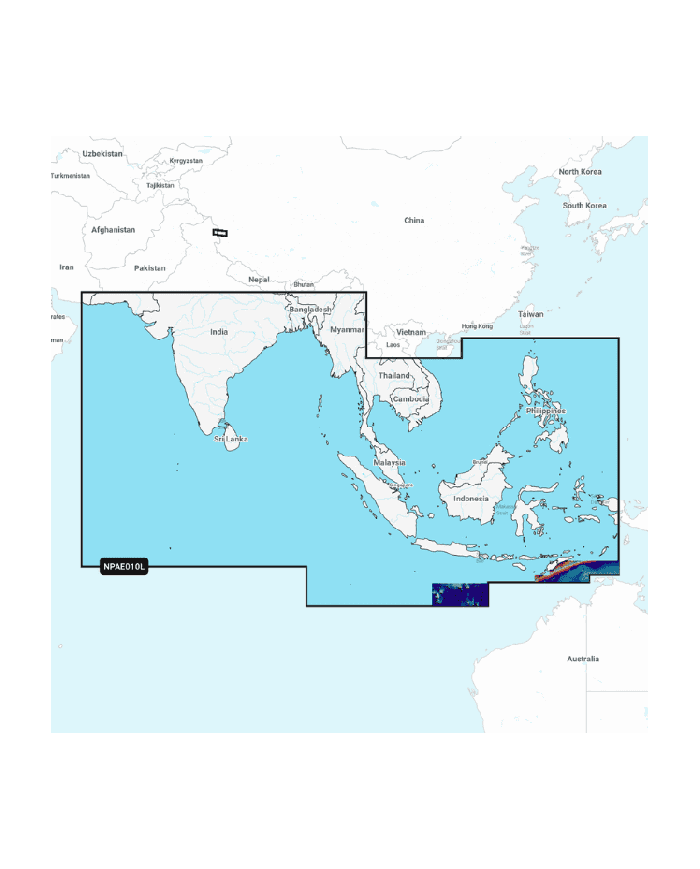
Discover the NPAE010L - OCÉANO ÍNDICO Y MAR DE CHINA MERIDIONAL AE010L - PLATINUM+, your ultimate guide to navigating the southern coast of Asia and the Indian Ocean.
Discover the NPAE010L - OCÉANO ÍNDICO Y MAR DE CHINA MERIDIONAL AE010L - PLATINUM+, your ultimate guide to navigating the southern coast of Asia and the Indian Ocean. This premium map offers unparalleled detail and accuracy, making it an essential tool for both professionals and enthusiasts alike.
- Comprehensive Coverage: Features extensive mapping from Gwadar (PK) to Da Nang (VN), including key regions like India, Sri Lanka, and the Maldives.
- Detailed Insights: Includes vital information on lakes such as Pangong and Spanggur, enhancing your geographical understanding.
- High-Quality Production: Crafted with precision, ensuring durability and clarity for all your navigation needs.
- Perfect for Various Uses: Ideal for maritime navigation, educational purposes, or personal exploration.
Elevate your cartographic collection today with the NPAE010L - OCÉANO ÍNDICO Y MAR DE CHINA MERIDIONAL AE010L - PLATINUM+ and experience the difference in quality and detail.
Technical Specifications:
Contenido costero
Contenido de interior: Más de 44 000
lagos.
Cartas náuticas detalladas
Batimetría SonarChart™ HD
Actualizaciones diarias1
Indicación de ruta de muelle a muelle1,2
Plotter Sync¹
Community Edits
Opciones Mapa Avanzadas1
Creación de mapas SonarChart™ Live3
Sombreado
Relief Shading1: Mediante Chart Installer
Imágenes por satélite con superposición de
Sombreado SonarChart™1: Mediante Chart Installer
Fotografía aérea
Vista 3D
1 Suscripción necesaria.
2 La función de indicación de ruta se ha diseñado únicamente con fines de
planificación y no exime de emplear un comportamiento responsable en las
operaciones de navegación.
3 No se necesita suscripción para la función de creación de mapas SonarChart
Live en algunos modelos de plotter, pero sí la última versión del firmware del
plotter.