
 Español







There are no more items in your cart

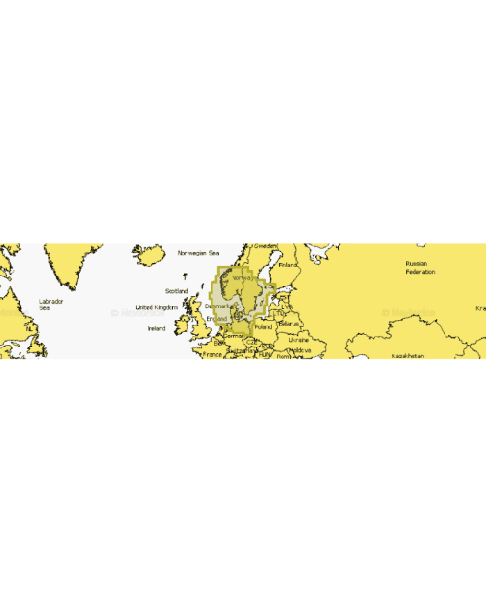
NAEU645L - SKAGERRAK & KATTEGAT EU645L - REGULAR
€252.08
Tax included
Experience unparalleled navigation with the NAEU645L - SKAGERRAK & KATTEGAT EU645L - REGULAR.
Experience unparalleled navigation with the NAEU645L - SKAGERRAK & KATTEGAT EU645L - REGULAR. This advanced GPS chart provides comprehensive coverage of critical maritime regions, ensuring you stay on course with confidence.
- Detailed mapping of the Dardanelles, Sea of Marmara, Bosporus Strait, and Black Sea.
- Extensive coverage of major rivers including the Dnieper, Bug, and Danube, enhancing your navigation options.
- Includes key ports such as Varna, Constanta, Odessa, and Istanbul for seamless travel.
- Perfect for both recreational and professional mariners seeking reliable navigation tools.
Upgrade your navigation experience today with the NAEU645L - SKAGERRAK & KATTEGAT EU645L - REGULAR!
Technical Specifications:
Coastal content
Inland content: Over 44,000 lakes.
Detailed nautical charts
Bathymetry SonarChart™ HD
Daily updates1
Route indication from dock to dock1,2
Plotter Sync¹
Community Edits
Advanced Map Options1
Map creation SonarChart™ Live
1 Subscription required.
2 The route indication feature is designed solely for planning purposes and does not exempt the use of responsible behavior in navigation operations.
3 No subscription is needed for the SonarChart Live map creation feature on some plotter models, but the latest version of the plotter firmware is required.