
 Español



There are no more items in your cart

NAEU074R - INGLATERRA, COSTA SUR EU074R - REGULAR
€161.33
Tax included
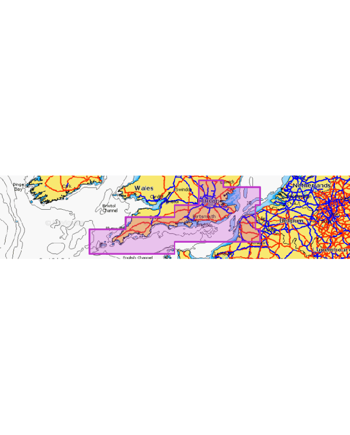
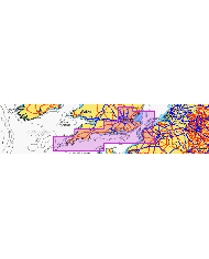
Experience unparalleled navigation with the NAEU074R - INGLATERRA, COSTA SUR EU074R - REGULAR, your ultimate guide to the southern coast of the UK.
Experience unparalleled navigation with the NAEU074R - INGLATERRA, COSTA SUR EU074R - REGULAR, your ultimate guide to the southern coast of the UK. Covering everything from Felixstowe to the Scilly Isles and extending to the French coast from Dunkirk to Le Treport, this map ensures you never miss a detail.
- Comprehensive coverage of the Thames River up to Windsor.
- Includes the Isle of Wight and major UK ports: London, Dover, Portsmouth, Southampton, and Plymouth.
- Detailed mapping of Calais and surrounding areas in France.
- Perfect for both professional navigators and leisure sailors.
- High-quality print for durability and clarity.
Enhance your maritime adventures with the NAEU074R - your reliable companion on the water!
Technical Specifications:
Contenido costero
Contenido de interior: Más de 44 000 lagos.
Cartas náuticas detalladas
Batimetría SonarChart™ HD
Actualizaciones diarias1
Indicación de ruta de muelle a muelle1,2
Plotter Sync¹
Community Edits
Opciones Mapa Avanzadas1
Creación de mapas SonarChart™ Live
1 Suscripción necesaria.
2 La función de indicación de ruta se ha diseñado
únicamente con fines de planificación y no exime de emplear un comportamiento
responsable en las operaciones de navegación.
3 No se necesita suscripción para la función de
creación de mapas SonarChart Live en algunos modelos de plotter, pero sí la
última versión del firmware del plotter.