
 Español

There are no more items in your cart

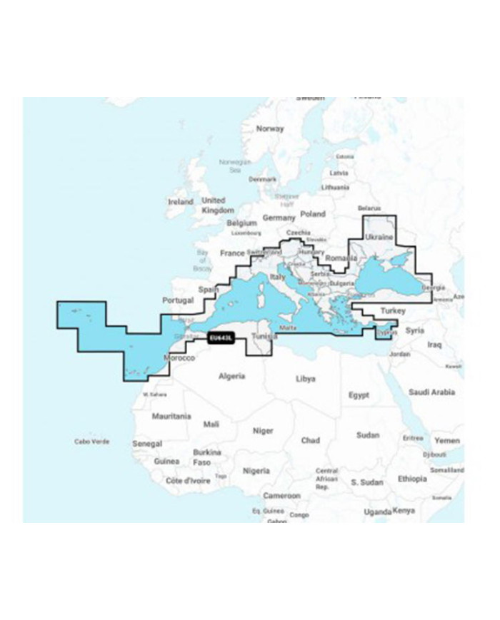
NAEU643L - MEDITERRANEAN AND BLACK SEA EU643L - LARGE
€252.08
Tax included
Experience unparalleled navigation with the NAEU643L - MEDITERRANEAN AND BLACK SEA EU643L - LARGE.
Experience unparalleled navigation with the NAEU643L - MEDITERRANEAN AND BLACK SEA EU643L - LARGE. This premium cartography solution offers the most comprehensive and detailed electronic maps for marine and lake navigation, ensuring you have the best tools at your disposal.
- High-Definition Bathymetric Maps: Enjoy exclusive HD bathymetric maps with 0.5m contour intervals, enhancing your navigation experience.
- Daily Updates: Benefit from thousands of user-generated edits processed daily, keeping your maps current and reliable.
- One-Year Subscription: Access advanced features and daily updates for a full year, maximizing your investment.
- Perfect for Fishing and Navigation: Tailored for both recreational and professional users, ensuring you have the best data for your adventures.
Upgrade your navigation experience today with the NAEU643L and explore the Mediterranean and Black Sea like never before!
Technical Specifications:
| Compatible Series | Current series (Dragonfly, Axiom, Element, Series a, c, e, eS and gS) |
|---|---|
| Cartographic Subtype | Navionics+ |
| Chart Size | Large |
| Card Type | MSD |
| Chart Area | Spain |
| Brand | NAVIONICS |
| EAN-UPC | 8054242922356 |
DIS-NN-774
4 Items
Specific References
| EAN13 | 80542412 |
|---|---|
| MPN | 010-C1351-30 |