
 Español





There are no more items in your cart

CEN. EUROPEAN LAKES
€211.75
Tax included
Discover the beauty and intricacies of Italy's lakes and rivers with the CEN.
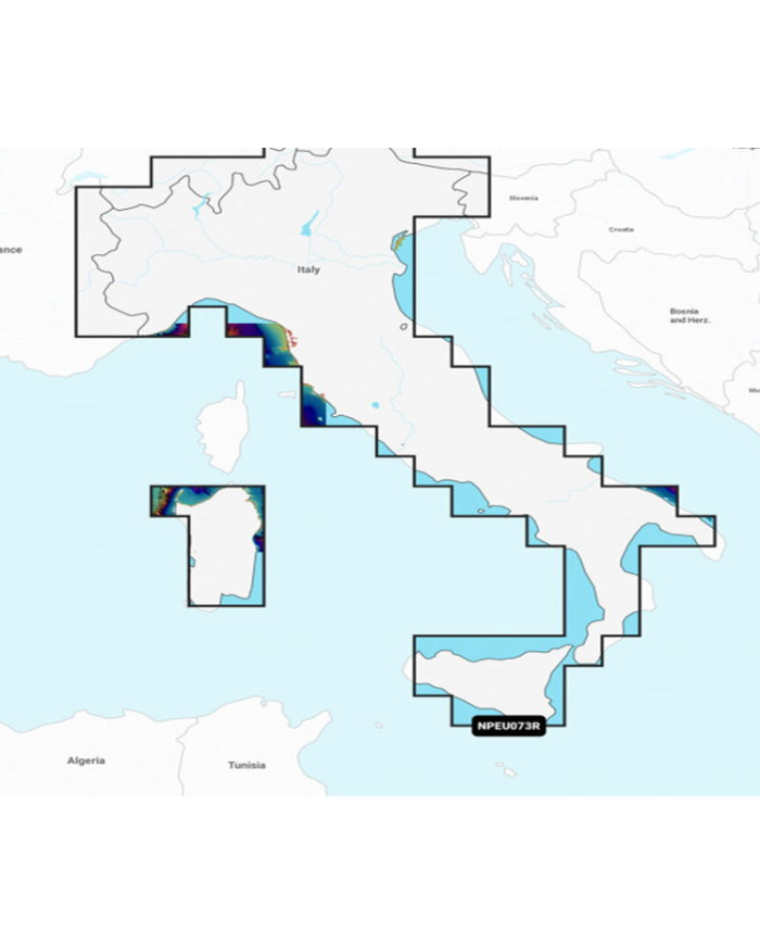
Discover the beauty and intricacies of Italy's lakes and rivers with the CEN. EUROPEAN LAKES map. This detailed cartographic representation includes essential features such as the Po River and renowned lakes like Lago Maggiore, Lago d'Iseo, Lago di Como, and Lago di Garda, making it an invaluable resource for both travelers and enthusiasts.
- Comprehensive Coverage: Detailed mapping of Italy's major lakes and rivers.
- High-Quality Cartography: Precision and clarity for easy navigation.
- Ideal for Travelers: Perfect for planning trips and exploring scenic routes.
- Durable Material: Designed to withstand the rigors of outdoor use.
Enhance your exploration of Italy's stunning waterways with the CEN. EUROPEAN LAKES map today!
Technical Specifications:
Skip to the end of the images galler
| Navionics+ | Platinum+ | |
|---|---|---|
Contenido costero | • | • |
| Contenu Eaux intérieures | Más de 42 000 lagos | Más de 42 000+ lagos |
| Contenido de interior | • | • |
| Cartas náuticas detalladas | • | • |
| Actualizaciones diarias1 | • | • |
| Indicación de ruta de muelle a muelle 1,2 | • | • |
| Plotter Sync1 | • | • |
| Community Edits | • | • |
| Option Carte Perso1 | • | • |
| Creación de mapas SonarChart™ Live3 | • | • |
| Sombreado Relief Shading1 | • | |
| Superposition images satellites avec SonarChart™ Shading1 | • | |
| Imágenes por satélite con superposición de Sombreado SonarChart™1 | Mediante Chart Installer | |
| Fotografía aérea | • | |
| Vista 3D | • |