
 Español








There are no more items in your cart

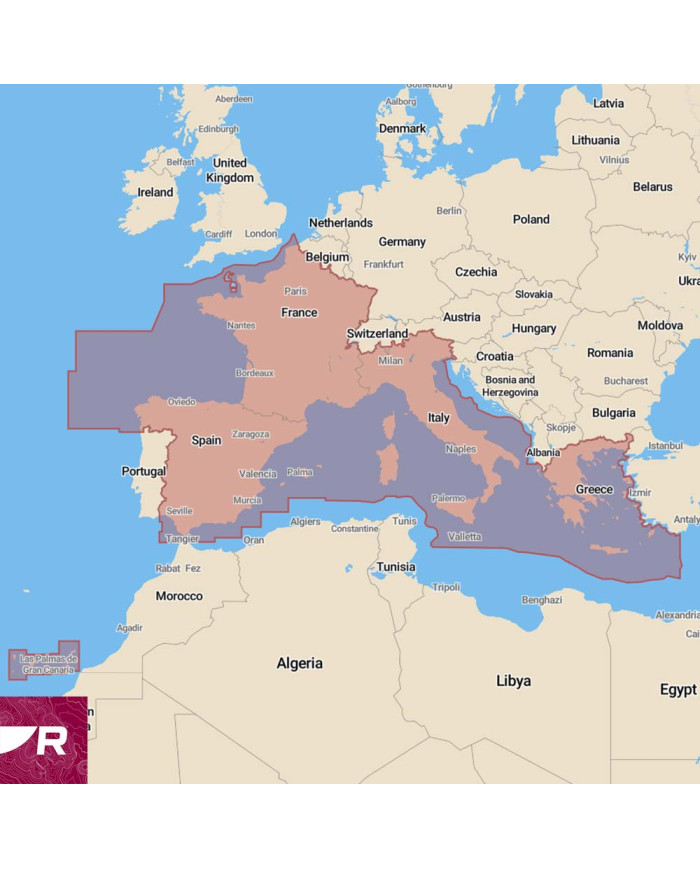
LightHouse Charts Preloaded Mediterranean
€254.10
Tax included
Preloaded with detailed charts for the Mediterranean, the RAYMARINE LightHouse Charts enhance navigation accuracy and ease of use.
Enhance your navigation experience with the LightHouse Charts Preloaded Mediterranean from RAYMARINE. This advanced cartography solution is designed for mariners who demand precision and clarity in their electronic maps. With comprehensive coverage of the Mediterranean Sea, these charts are preloaded for immediate use, ensuring you have the most up-to-date information at your fingertips.
- Preloaded with detailed charts for the Mediterranean region.
- Compatible with RAYMARINE navigation systems for seamless integration.
- Regular updates available to keep your charts current.
- User-friendly interface for easy navigation and planning.
- High-resolution imagery for enhanced visibility and accuracy.
Upgrade your marine navigation with the LightHouse Charts Preloaded Mediterranean and sail with confidence.